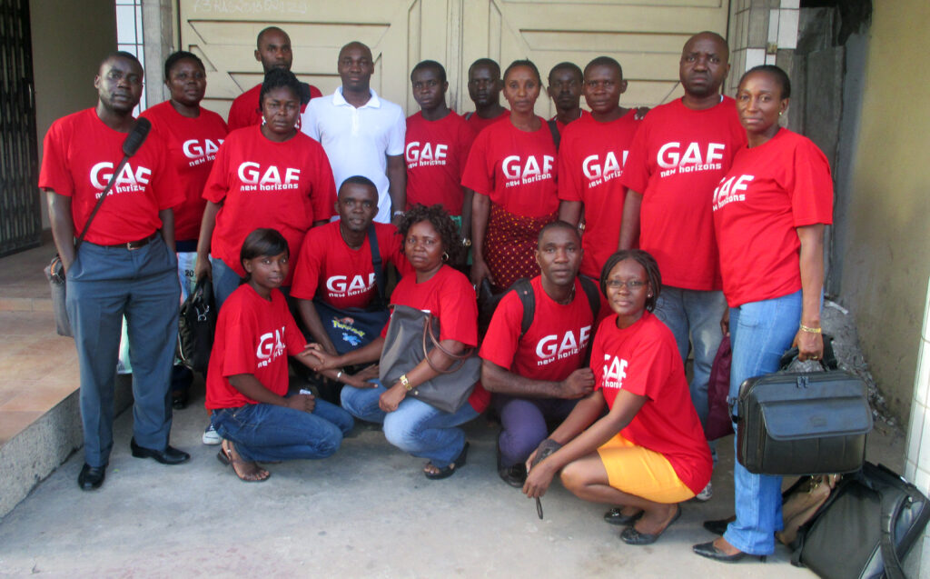
GAF has been awarded a contract to strengthen human and infrastructural capacities in the framework of the OSFACO (Spatial Observation of Forests of Central and West Africa) project. OSFACO aims to improve knowledge of land use dynamics in several African countries through the use of Earth Observation. This comprises the provision of high resolution satellite images, support of in-country land-use and land-use change mapping and promotion of satellite imagery use. GAF and its partner SIRS are now starting activities in the Central African Republic, Gabon and Guinea-Conakry. Focus is the delivery of remote sensing & GIS training for forest- and agricultural monitoring as well the provision of IT equipment.
The OSFACO project is financed by the French Development Agency. Further information is available at: http://www.osfaco.org/


