GAF has successfully delivered 84 000 sqkm of high quality topographic maps based on high resolution optical satellite data.
The maps follow the international standards and have passed independent quality checks.
They now serve as essential base information for the geological and mineral potential mapping.
A second phase contract of 49 000 sqkm additional mapping has now been awarded to GAF.
These topographic maps constitute an indispensable asset for all upcoming in-situ mining development activities under PROMINES (support to the mining sector project).
This project is funded and supervised by the World Bank, Washington.
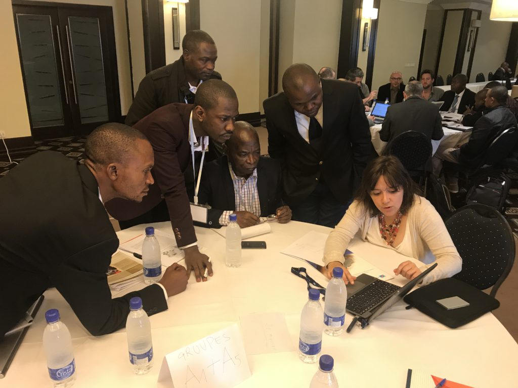
GAF has presented its results on site in Lubumbashi, Democratic Republic of Congo.


