Challenge
The digital divide is a barrier preventing developing countries from accessing the enormous volume of Copernicus satellite data and utilising such data for their forest monitoring tasks. The information and communication technology (ICT) infrastructure available in developing countries is often insufficient for downloading, managing and processing large volumes of EO data.
Solutions created by GAF
The need for robust operational national forest monitoring systems that are part of the REDD+ process can be best met with the use of the high frequency, high spatial resolution suite of the European Copernicus satellites.
GAF collaborated with the Department of Forestry (DoF) in the Ministry of Natural Resources, Energy and monitoring. The project was supported by the European Space Agency and undertaken in 2019.
Customer Benefits
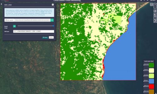
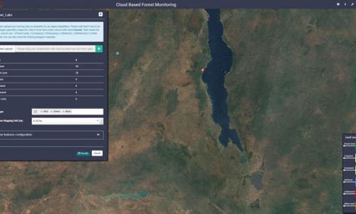
- The project demonstrated successfully to staff in the DoF in Malawi the use of dense time series of Sentinel-2 satellite data for forest monitoring in a cloud-based environment.
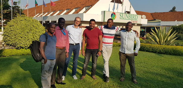
- The project also included in-country capacity building. The DoF staff were greatly helped by the facilitated access to Sentinel-2 data and the possibilities to process the data in the cloud.
- Tremendous cost and timesaving implications for developing countries, as they would not need to invest in expensive ICT infrastructure for downloading/processing and managing/hosting such data.


