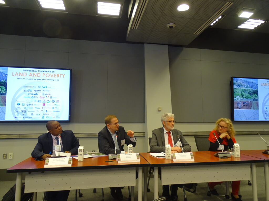
The ESA EO4SD Urban programme has as a main objective to support the Multi-Lateral Development Banks and developing countries with geo-spatial data and in this context GAF participated at the World Bank Land and Poverty Conference 2019 with the title “Catalyzing Innovation” in Washington, DC. Dr. Thomas Häusler (Head Forest and Climate Change) gave a presentation with the title “Earth Observation for supporting urban land use policy implementation” in the session “Applications of earth observation to assess urban service delivery”.
Additionally, there was a Round-Table Session organized by the Global Platform for Sustainable Cities (GPSC), the City Resilience Programme (CRP) and the European Space Agency (ESA) titled “Satellites in Action: How Geospatial Data Can Create Resilient and Sustainable Cities”. The session was demonstrating how geospatial data could be utilized in different urban development stages to improve planning and resilience, and to help cities achieve sustainability. GAF presented the results of the ESA EO4SD urban programme, the 3D elevation suite and overall benefits of Satellite-based products for resilient and sustainable cities worldwide.
Read more : http://eo4sd.esa.int/2019/05/21/world-bank-land-and-poverty-conference/

M. Musinguzi –Session Chair (Makerere University, Kampala, Uganda);
Thomas Esch (DLR, Germany) ; Dr. T. Häusler ; (GAF, Germany); Elke Krätzschmar (IABG, Germany)


